15 things we learned were built with Mapbox
Location inspiration shared by Mapbox developers

By: Elijah Zarlin
Every day at Mapbox, our internal Slack is full of projects and apps built with Mapbox that we’ve discovered in the wild. But the weird blind spot of being a platform is that there’s just no way to keep up with everything that developers create.
So this month we decided to ask. To no one’s surprise, the response was cool!
Check out these amazing projects that developers shared. Tweet your own using #builtwithmapbox so we can share the love and send you some swag.
All 10 million buildings in the Netherlands, in 3D, and color-coded by age:

Indoor and outdoor wayfinding app:

Touchscreen “in-dash” motorcycle navigation:


Urban planning applications from the US and Canada:


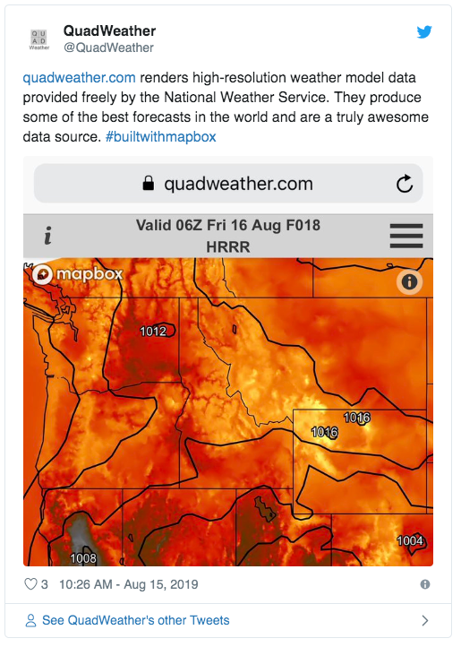
Gorgeous weather visualization using open data:
A hybrid driver efficiency coaching app:

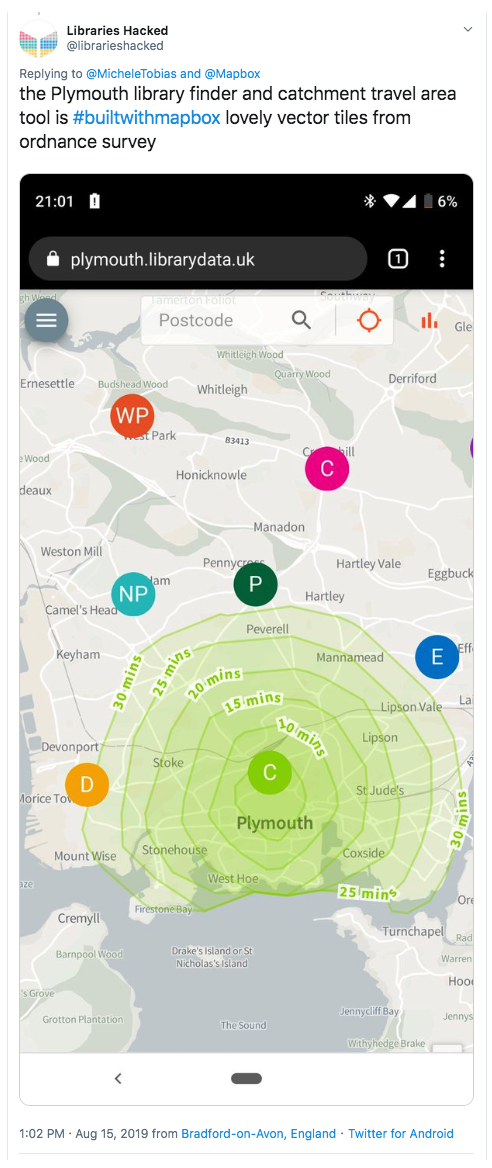
A UK Library finder with isochrones:
A floor-sized building map in the Chicago Architecture Center:

Stunning video journalism visualizing security threats in 3D:

Electric vehicle charger routing in the Netherlands:


Visualizations of immigrants and migration in America:

This 😍 topography styling:

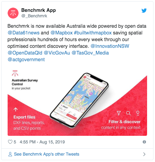
This survey control app in Australia:
/quick-map — a maps plug-in for Slack:


Reminder: You can map anything with a location.
Everything has a location, ergo… (mapping bridges, Avengers, Sandhill Cranes, place name pronunciation, Australian renewable energy projects…)


If you’re this good at scrolling, you are probably building something awesome, too. Put it on the hashtag!
Just getting started? Create an account to download the SDKs, access the APIs, or design custom maps and style your data in Studio. We can’t wait to see what you build.

