High-resolution imagery (15 cm) in France is live!
Published in
2 min readAug 7, 2020
By: Eric Gundersen
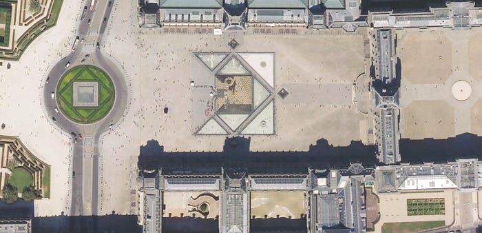
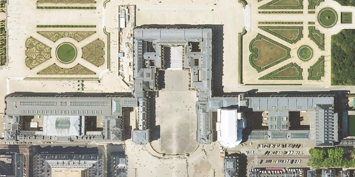
We just went live with imagery across 75% of France (490,000 square kilometers) at resolutions up to 15 cm. All the imagery is live in our maps. Log in to Studio to see the updated imagery, or check out a few of our favorite shots:


Here is the full coverage map of our recent update in France, Big thank you to the Institut national de l’information géographique et forestière (IGN) and their commitment to open data.


Maps feature data from Mapbox and OpenStreetMap and their data partners

