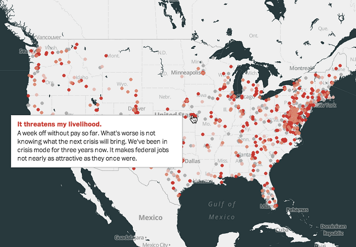
Government Shutdown Map by the Washington Post
By Chris Herwig

This government shutdown map by the Washington Post allows readers to comment how the closed government affects them and shows their response on a MapBox map. The result is an evolving visualization of where in the United States people are affected.

