Launching the Mapbox Unity SDK
We are pleased to launch the Mapbox Unity SDK at the Game Developers Conference this Wednesday in San Francisco. We’re bringing global real world map layers, search, and directions to location-based games and AR/VR applications in one easy to use package.
Tap into layers of buildings, streets, places, water bodies, elevation, and aerial imagery to generate open worlds for location-based games or simulate real world action. Use traffic based directions to guide players, or use geocoding to search for places and display location names in your game.
Everyone can now download the Mapbox Unity SDK and start building. A huge thank you to the big developer community who has helped shape the SDK while it was in private beta. While developing the SDK we’ve been having fun ourselves building demos — check out the screenshots and videos below.
If you’re planning to use location in Unity, we’d love to hear from you. Hit us up on Twitter via the tag #BuiltWithMapbox and if you’re in San Francisco for GDC, stop by our booth 2330 in the South Hall.

Build open world location-based games, with real world place data.

Build navigation meshes with real world terrain data like Mt Fuji in this example.
Create styled cityscapes like this night-themed view of Manhattan.
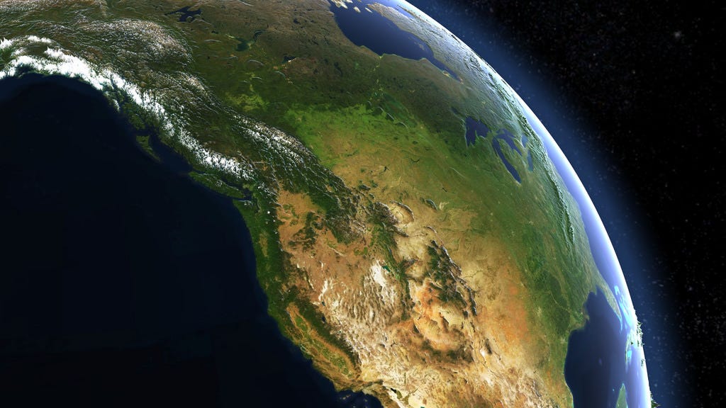


Combine elevation layers and satellite to explore our beautiful planet.

Generate Minecraft-inspired worlds from real world terrain and land use data.

Combine carefully crafted Mapbox Studio styles like this hand drawn design with 3D building data.

Integrate our Geocoding and Directions API’s to find places and route between them.

Use our traffic layer for color coding and vehicle traffic generation.

Use generative textures on buildings to quickly build Sim City like experiences with real world map data.
Combine global terrain, satellite, and street vector data for flight simulations and more.

