By: Tom Lee
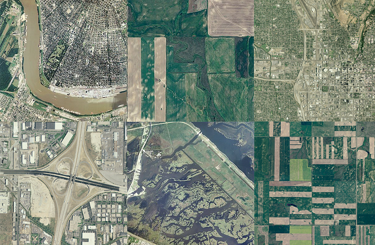
Early this year, we found out that the National Agricultural Imagery Program (NAIP)…
By: Eric Gundersen
By: Caren Plummer
Cityzenith just launched Smart World Pro, a 3D mapping tool that helps architects, engineers, urban planners, and…