By: Tom Lee
Early this year, we found out that the National Agricultural Imagery Program (NAIP)…
By: Camilla Mahon
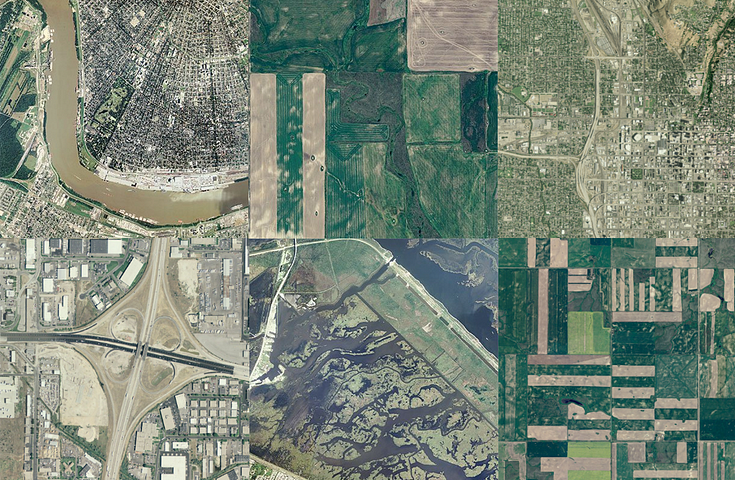
We do a whooole lot of Earth-gazing on the satellite team. We each have our handful of favorite spots on the satellite layer—places we have personal…
By: Paul Goodman
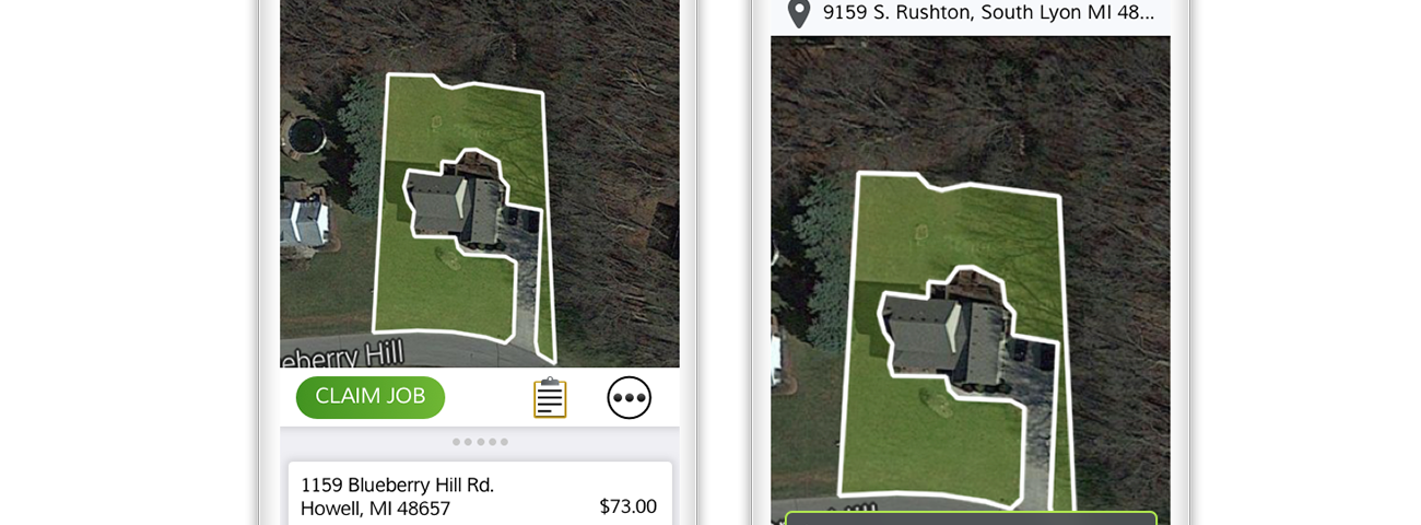
With the launch of the new Mavic Air, DJI released a brand new version of DJI Go maps for Android powered by Mapbox. From the latest street and park data to high resolution aerial imagery, DJI Go users can now plan and review their flights on our fast…
SatSummit 3 is officially a “go”. In partnership with Development Seed, we’re hosting the third iteration of SatSummit at Washington D.C.’s International Trade Center on September 19–20. Join us as we explore how the Earth observation industry…
By: Vincent Sarago
Combining the power of AWS Lambda and Rasterio