Using MapBox With WMS Servers
We’ve just published
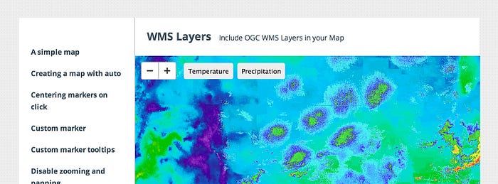
an example of using MapBox with WMS layers -
the latest in the API being an open platform.
Just like MapBox maps can be used in multiple systems, we’re working to make it possible
to include maps from other sources in our new
JavaScript API

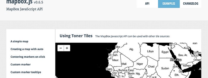
This joins the example of using Toner tiles
from Stamen, which are served in the XYZ
tiling standard like our own.

The WMS standard is one of the oldest web
mapping technologies and is still a mainstay at many governments and corporations, as well as
legacy and desktop applications. It supports a wide range of options, like multiple styles,
projections, and image formats. We’re taking care to keep things simple by only accepting
the spherical mercator projection, and
letting you specify any necessary URL parameters.
WMS is notoriously difficult to maintain and keep efficient,
so we have no plans to provide WMS as a service. MapBox web services
instead are simple, fast, and easy to use with open source libraries like
OpenLayers,
Leaflet and Modest Maps. But
it should be easy to integrate against any other system as needed so that users can
tell map-based stories, and make new things with combinations.

